

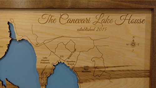
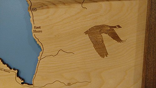

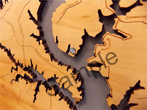

This is a beautifully detailed, laser engraved and precision cut topographical Map of Lake Almanor in Plumas County, California with the following interesting stats carved into it: Plumas County, Surface Elevation: 4,505 Ft, Area: 43.75 Sq miles, Length: 13 miles, Width: 6 miles. Our handmade, solid wood, English chestnut stained frame gives it the classic look and is available in three sizes. Interesting factoid: The dam is 130 feet tall and composed of hydraulic fill. The first dam was completed by Great Western Power in 1914 as part of the Upper North Fork Feather River Project, damming the North Fork of the Feather River and flooding the meadow-filled valley generally known as Nakam Koyo/Big Meadows/Big Springs, a longstanding Yamani Maidu village site. When the dam was built, Maidu families still living in the vicinity were displaced while parts of the town of Prattville had to be moved to higher ground, leaving multiple structures flooded over. The reservoir was named for the three daughters of Guy C. Earl, Vice President of Great Western Power: Alice, Martha and Eleanor. The present dam, which more than doubled the size was constructed by Great Western Power from 1926 to 1927. All maps include special points of interest laser engraved into the map face and come with a beautiful blue self-adhesive Swarovski Crystal to mark your preferred location on the map. Each map is a beautiful artistic handcrafted work of art using the finest woods with special attention to every detail. Due to the natural variation in wood grain, each map will vary slightly in finish and color. Birch is our wood of preference. Once the map is cut and engraved we hand sand multiple times, assemble and clear coat them for a lustrous wood shine. We believe that this personal attention each and every item receives makes each wooden item a unique work of art. Made in the USA by American workers in an American owned business. (Images shown in listing are custom per customer request.)
Trustpilot
2 weeks ago
1 month ago
