Standard Navigation, 64 Cape Cod and Harbors
Buy anything from 5,000+ international stores. One checkout price. No surprise fees. Join 2M+ shoppers on Desertcart.
Desertcart purchases this item on your behalf and handles shipping, customs, and support to Belgium.
Description
- Two Sided
- Foldable
- Tear Resistant Synthetic Paper (Hop-Syn) 5 PP Tree Friendly
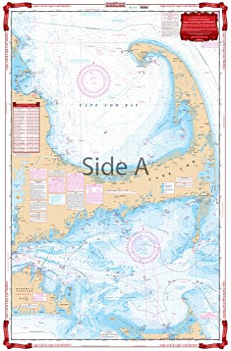
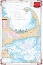
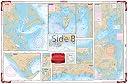
A creative combination of government charts allows coverage of all of Cape Cod on a single side, from Provincetown south to Nantucket and west to Falmouth. Large print place names make areas and towns very easy to find. GPS Waypoints are printed directly on the chart. The reverse side has 10 enlarged blow ups for the following habors: Chatham and Pleasant Bay, South Yarmouth, West Dennis and Harwich Port, Barnstable, Wellfleet, Woods Hole and Falmouth, Hyannis, Plymouth and Provincetown. An excellent color key makes these insets easy to find. Information from 8 different NOAA Charts: #13246, #13237, #13248, #13229, #13250, #13249, #13251, and #13253. Chart is 25" X 38". WGS84 - World Mercator Datum.
Common Questions
Trustpilot