
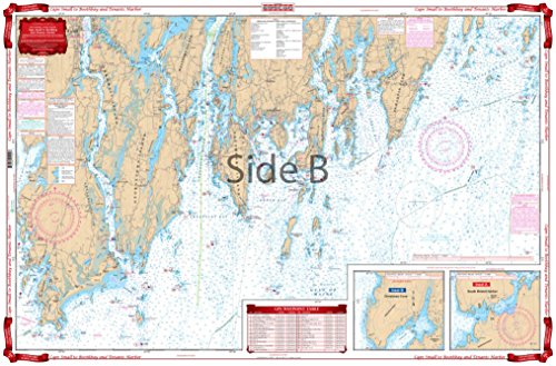
Detailed coverage of Sheepscot Bay, Johns Bay and Muscongas Bay. Includes Monhegan Island, Damariscove and Sequin Islands. Insets give details of Christmas Cove and South Bristol Harbor. Big place names are easy to find. 52 GPS Waypoints guide the way. Information from NOAA Charts 13293 and 13301. Chart is 25" X 38". WGS84 - World Mercator Datum.
Trustpilot
1 month ago
4 days ago
