
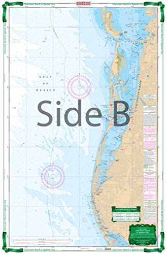
Shows detailed Intracoastal area from Egmont Key to Sunshine Skyway and North to Clearwater Harbor and Honeymoon Island. Large Print Place Names make areas and inlets easy to find. A total of 15 GPS Waypoints. Covers area From 3 to 6 Miles Offshore as well. Information from NOAA Chart 11411. WGS84 - World Mercator Datum. 25" x 38"
Trustpilot
2 weeks ago
1 month ago
