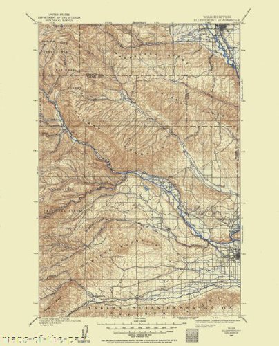
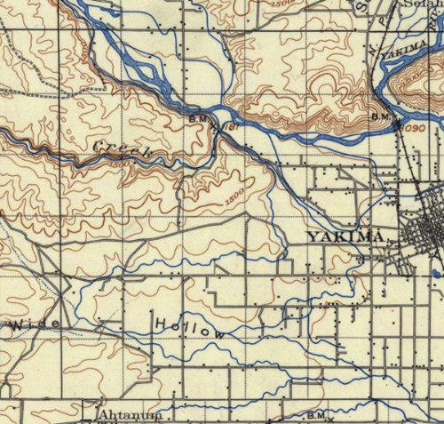
ELLENSBURG QUAD WASHINGTON (WA) USGS 1899This is an exquisite full-color Reproduction printed on Matte Art Paper. These maps are perfect for framing, or a wonderful and unique gift for family members, friends or co-workers!All Information is Carefully Compiled from Actual SurveysOriginal Maps are often difficult to find and usually have fold lines, identifying stamps or markings, tears, ragged edges, and assorted other natural signs of age that detract from their beauty. All of our maps have been professionally restored to depict their original beauty, while keeping all historical data intact.These maps are fabulous pieces of history full of information useful to Historians, Genealogists, Cartographers, Relic Hunters, & Others. They make fascinating conversation pieces and splendid works of art for the home or office.Print Size: 23.00 x 28.45 inchesSites and Townships Specific To This Map Are: Devils Slide, Bald Mountain, Manastash Ridge, Kelley Hollow, Cowiche Basin, Sedge Ridge, Northern Pacific Railroad, Old Durr Road, Rattlesnake Creek, Kittitas Valley, Snoqualmie National Forest, Yakima India Reservation, Manastash Creek, Yakima River and Gold Creek.The following towns are featured: Ellensburg, Holmes, Wenas, Yakima, Ahtanum and Tampico.This Map is Situated in: Kittitas and Yakima Counties, Washington (WA)SKU: WAEL0001-3
Trustpilot
1 month ago
5 days ago
