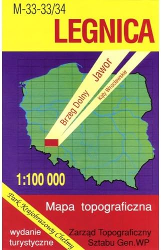
Legnica Region Map
Desertcart purchases this item on your behalf and handles shipping, customs, and support to Belgium.
Description
Each Classified Military Map covers 45 x 87 miles, showing large cities as well as small villages. Scale is 1:100 000. All names of city/village and index are in Polish. Legend is in Polish/German/English. This is a topographic map (mapa topograficzno) of Legnica and surrounding area. The map includes: Farmsteads , churches , cemeteries , factories , airports , power stations , meteorological stations , sewage works , monuments , historical trees , national parks , national boundaries , voivodeship boundaries , main and secondary roads , radio stations , windmills, watermills , nature reserves , geodetic points , elevation points , wells , reservoirs , bridges , museums , old ramparts , post offices , castles , tourist information centers , bicycle routes , railways and stations , forests , meadows , orchards , ferries , dams , waterfalls , speed of water flows
Common Questions
Trustpilot