
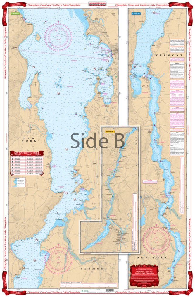
From the south one side starts at Troy and details the Champlain Barge Canal to Whitehall, N.Y. The Reverse Side continues north thru the Narrows of Dresden past the Crown Point Bridge and north to north of Burlington, Vt. and Port Kent, N.Y. Information from 4 NOAA Charts 14782, 14783, 14784 and 14786. WGS84 / World Mercator Datum. 25" x 38"
Trustpilot
1 month ago
3 days ago
