Pine Creek Press Black Forest Trail Guide
Desertcart purchases this item on your behalf and handles shipping, customs, and support to Belgium.
Description
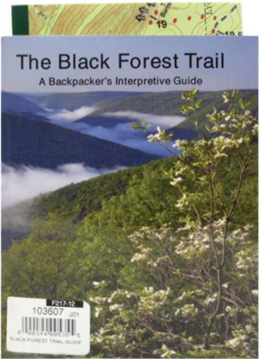
- The Black Forest Trail is a 42 mile loop trail located in the northwest corner of Lycoming County
- The guide provides detail on the Black Forest Trail as well as its many side trails
- Along with trail information you will also learn about the history of the area
- The colored topographical map shows the entire route of the Black Forest trail and its many side trails, printed on both sides
Full description not available
Reviews
J**R
Great guide and map.
The map and guide are very detailed allowing the hiker to find water, camp sites, and know how to navigate this very challenging loop. The map shows intersecting trails and roads. Easy to use with a compass and never guessing where you are on the trail.....and the map is waterproof.Just a heads up, this trail is tough. Steep grades over rough terrain. Amazing hike! Highly reccomend!
S**Z
Great Map!
Though the guide book was nice to have, the real valuable item was the included map. It was quite helpful with mileages and potential campsite locations. The guide book did come in handy on several occasions where it was somewhat questionable as to where we were or how far we've gone. This is certainly a good thing to have with when you hike the BFT.
M**L
Great buy
Another awesome buy
C**E
The book was informative and descriptive. It is a ...
The book was informative and descriptive. It is a bit dated and does not follow the trail exactly due to re routes. the trail is well marked. The included map was helpful.
D**L
Detailed guide to Black Forest Trail and waterproof map
This is a must guide if you like to follow in detail and want to know your exact location like I do (I carry a Garmin GPS). This is probably the first edition, I just bought third edition published in 2018 at Pine Creek Outfitters. 3rd edition describes Algerine Trail, Sientiero Di Shay route, Ruth Will Ski Trail, Cut-Off Trail, Pine Trail/Callahan Run Trail, Naval Run/Lance Raisch Trail, Gas Line Trail, Woods & Childs Trail, and Old Supply/Foster Hollow Trail and the waterproof map shows all these trails plus GPS coordinates. This is a hard trek with lots of uphills and downhill with 1000 ft elevation gain/loss with rocky ascend/descend.
Common Questions
Trustpilot