
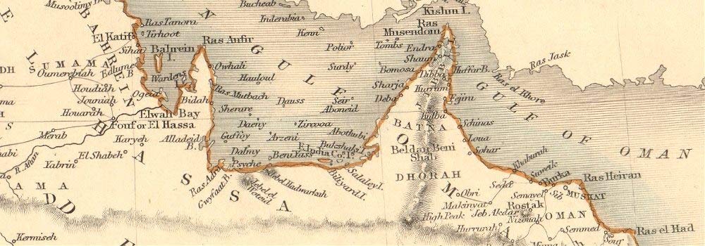
Antique Map: ARABIA. Deba (Dubai) Abothubi (Abu Dhabi) Oman Kuwait. TALLIS & RAPKIN. Title: 'Arabia'. Type: Antique engraved map by J Rapkin, published by John Tallis. Original outline hand colour, decorative border, and attractive inset vignette views. Date of printing: 1851. Size: 36.5 x 26.5cm, 14.5 x 10.25 inches (Large), 981 sq cm. Artist, cartographer or engraver: Map drawn and engraved by J. Rapkin; vignette illustrations drawn by H Warren & engraved by J Rogers. Published by John Tallis & Co. Condition: Good; suitable for framing. However, please note: The image shown may have been taken from a different example of this map than that which is offered for sale. The map you will receive is in good condition but there may be minor variations in the condition from that shown in the image. This map was coloured by hand at the time of publication, thus the colouration may vary slightly between different examples of the map; the colouring applied to the map you receive may differ slightly from that shown in the image. Decorative title slightly trimmed at top. Please check the scan for any blemishes prior to making your purchase. Please contact us if you would like to arrange to view this map.Verso: There is nothing printed on the reverse side, which is plain. Provenance: "Tallis's Illustrated Atlas and Modern History of the World, Geographical, Political, Commercial and Statistical", edited by R Montgomery Martin Esq., published by John Tallis and Company, London & New York [Tallis's Illustrated Atlas]. Subject categories: Arabia Tallis.
Trustpilot
1 day ago
2 weeks ago
