Classroom Complete Press CC7772 Mapping Skills With Google Earth Grades 6-8 - Paul Bramley
Desertcart purchases this item on your behalf and handles shipping, customs, and support to Belgium.
Description
- Classroom Complete Press CC7772 Mapping Skills With Google Earth Grades 6-8 - Paul Bramley
- UPC:NULL
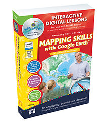
Move on from a basic understanding of map reading to a more complex one with our engaging and highly interactive 80 screen-page digital lesson plan for students in grades six to eight. Students will further develop their ability to read and understand maps by looking at weather and population maps. Then, students will engage in mapping their country in detail, including states, provinces, capitals, cultural and geographical features. Finally, students will move on to mapping their continent and then the world. Using any brand of Interactive White-board, you will be able to create an opportunity for students to get more involved in the lesson. Each ready-made screen contains reading passages, before and after you read interactive activities, a Google Earth component, interactive map activities, test prep, memory match game, crossword, word search, printables, supporting video, and even English and Spanish Text to Speech. Test your student's comprehension of the lesson with a Comprehension Quiz by using smart Notebook software's assessment tool, smart response. All of our content is aligned to your State Standards and are written to Bloom's Taxonomy.FeatureTitle - Mapping Skills with Google Earth.Grades 6-8.Reading Level - 6-8.Age Level - 11 - 13.File Size - 18227 KB.Screen Pages - 80.Digital lesson plans.Author - Paul Bramley.Dimension - 9.75 x 1.25 x 6.5 in.
Common Questions
Trustpilot